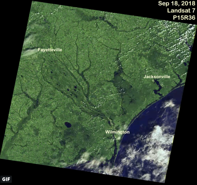
This is an image of a deluge, an absolute inundation, a drainage basin filled to the brim, a coast whose cup runneth over, total saturation, a scene that would make Noah cringe. This is, as my friend pointed out, a f*@kload of water.
This image shows how the land changed after Hurricane Florence was done, after the slow-moving storm finally spun out into meek wisps of white and the blue sky returned. It was made by a thinking box flying 440 miles above us. The box is called Landsat 8, and its job is to show us the terrestrial planet we live on, so we can understand it a little better. Its perspective is one that I think we could all kinda use right now. I don’t see any red or blue here, or BS on Twitter, ok? It’s just a picture of a chunk of this tragically beautiful planet that we have to share.
Here is what this imagery shows. According to an early estimate from the National Weather Service, nearly 8 trillion gallons of rain fell on North Carolina Sept. 13-17. That was a T. That’s an 8 with 12 zeroes after it.
We witnessed that unspeakable volume of water as catastrophic flooding — boats under oar floating through neighborhoods, whole interstates drowned, porches and pigpens submerged, homes and mementos washed away. Satellites witnessed it as a literal reshaping of the Earth’s crust. Continue reading

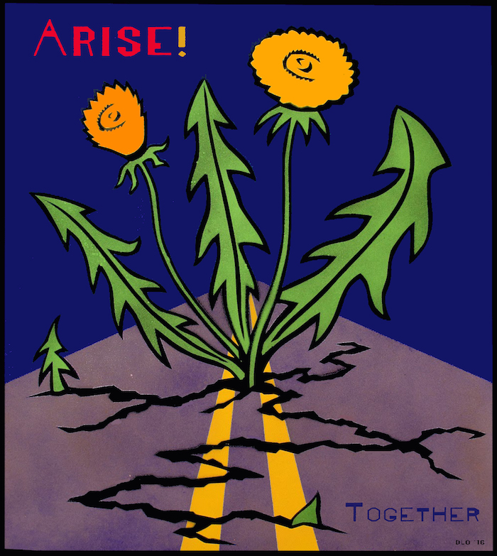 I have a friend who is worried about our country. Haw haw. Who am I kidding? All my friends are worried about our country, every single one of them, even the Republicans I know. We are living through an incredibly bonkers and troubling moment: climate change is starting to actively bite us in the ass here in the United States, via intense hurricanes and wildfires; overt racism and fascism have come out of hiding to parade in the streets; children are being locked up in cages; and the rich keep getting richer while everyone else gets poorer—just to get the list started. My friend wants to do something about all this.
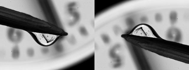 Sometimes I lose track of time when I’m in the water. There are days when it seems like I’ve been paddling through whitewater for hours, the wind makes my ears feel like icicles, and my arms are burning. When I get back to the car, only fifteen minutes have passed since I started surfing. Then there are days when the sky is blue, the waves are just right and there’s a friend to chat with between sets. On those days it seems like I’ve hardly been in the water at all. And on those days I have sometimes been late to pick up my kids.